Bestand:Nouvelle-Calédonie collectivity location map centered.svg

Afmetingen van deze voorvertoning van het type PNG van dit SVG-bestand: 784 × 600 pixels Andere resoluties: 314 × 240 pixels | 628 × 480 pixels | 1.004 × 768 pixels | 1.280 × 979 pixels | 2.560 × 1.958 pixels | 1.017 × 778 pixels.
Oorspronkelijk bestand (SVG-bestand, nominaal 1.017 × 778 pixels, bestandsgrootte: 144 kB)
| Dit is een bestand van Wikimedia Commons. Onderstaande beschrijving komt van de beschrijving van het bestand daar. Controleer het gebruik van dit bestand in andere Wikimediaprojecten. |
Beschrijving
| Cameralocatie | | Deze en andere afbeeldingen in: OpenStreetMap |
|---|
| Beschrijving |
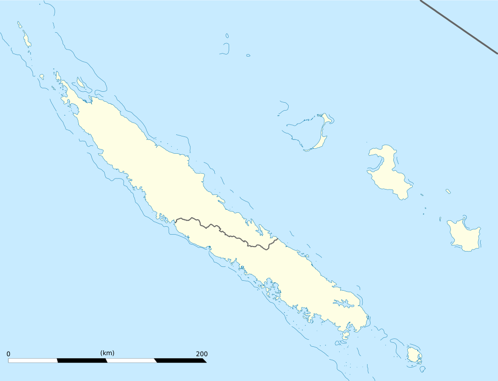
English: Blank administrative map of the territorial collectivity of New Caledonia, France, for geo-location purpose.
This is a map centered on the main islands. For a general map allowing to geo-locate the remote islands, see below. Français : Carte administrative vierge de la collectivité territoriale de Nouvelle-Calédonie, France, destinée à la géolocalisation. Ceci est une carte centrée sur les îles principales. Pour une carte générale permettant la géolocalisation des îles isolées, voir plus bas. Equirectangular projection, WGS84 datum
Geographic limits of the map:
|
||
| Datum | |||
| Bron |
Eigen werk
|
||
| Auteur | Eric Gaba (Sting - fr:Sting) | ||
| Toestemming (Hergebruik van dit bestand) |
|
||
| Andere versies |
Afgeleide werken van dit bestand: Drapeau Province Nord Nouvelle Calédonie.svg
|

Licentie
Ik, de auteursrechthebbende van dit werk, maak het hierbij onder de volgende licenties beschikbaar:
Dit bestand is gelicenseerd onder de Creative Commons-licentie Naamsvermelding-Gelijk delen 3.0 Unported
- De gebruiker mag:
- Delen – het werk kopiëren, verspreiden en doorgeven
- Remixen – afgeleide werken maken
- Onder de volgende voorwaarden:
- naamsvermelding – U moet op een gepaste manier aan naamsvermelding doen, een link naar de licentie geven, en aangeven of er wijzigingen in het werk zijn aangebracht. U mag dit op elke redelijke manier doen, maar niet zodanig dat de indruk wordt gewekt dat de licentiegever instemt met uw werk of uw gebruik van zijn werk.
- Gelijk delen – Als u het werk heeft geremixt, veranderd, of erop heeft voortgebouwd, moet u het gewijzigde materiaal verspreiden onder dezelfde licentie als het oorspronkelijke werk, of een daarmee compatibele licentie.

|
Toestemming wordt verleend voor het kopiëren, verspreiden en/of wijzigen van dit document onder de voorwaarden van de GNU-licentie voor vrije documentatie, versie 1.2 of enige latere versie als gepubliceerd door de Free Software Foundation; zonder Invariant Sections, zonder Front-Cover Texts, en zonder Back-Cover Texts. Een kopie van de licentie is opgenomen in de sectie GNU-licentie voor vrije documentatie. |
U mag zelf één van de licenties kiezen.
Bestandsgeschiedenis
Klik op een datum/tijd om het bestand te zien zoals het destijds was.
| Datum/tijd | Miniatuur | Afmetingen | Gebruiker | Opmerking | |
|---|---|---|---|---|---|
| huidige versie | 21 jan 2009 21:09 | | 1.017 × 778 (144 kB) | Sting | == Summary == {{Location|21|06|00|S|165|51|00|E|scale:2000000}} <br/> {{Information |Description={{en|Blank administrative map of the territorial collectivity of New Caledonia, France, for |
Bestandsgebruik
Geen enkele pagina gebruikt dit bestand.
Globaal bestandsgebruik
De volgende andere wiki's gebruiken dit bestand:
- Gebruikt op af.wikipedia.org
- Gebruikt op als.wikipedia.org
- Gebruikt op an.wikipedia.org
- Gebruikt op ar.wikipedia.org
- Gebruikt op ast.wikipedia.org
- Gebruikt op az.wikipedia.org
- Gebruikt op ba.wikipedia.org
- Gebruikt op be-tarask.wikipedia.org
- Gebruikt op be.wikipedia.org
- Gebruikt op bg.wikipedia.org
- Gebruikt op bn.wikipedia.org
- Gebruikt op bs.wikipedia.org
- Gebruikt op ceb.wikipedia.org
Globaal gebruik van dit bestand bekijken.