Bestand:Felswand - Hvar.jpg
Oorspronkelijk bestand (4.440 × 2.960 pixels, bestandsgrootte: 10,61 MB, MIME-type: image/jpeg)
| Dit is een bestand van Wikimedia Commons. Onderstaande beschrijving komt van de beschrijving van het bestand daar. Controleer het gebruik van dit bestand in andere Wikimediaprojecten. |
| Cameralocatie | | Deze en andere afbeeldingen in: OpenStreetMap |
|---|
| Beschrijving | |||
| Datum | |||
| Bron | Eigen werk | ||
| Auteur | |||
| Toestemming (Hergebruik van dit bestand) |
Deutsch: Lizenz: CC BY-SA 3.0 oder LAL.
Ich würde mich sehr über die Zusendung eines Belegexemplares bzw. der Angabe der Internetseite, wo das Foto benutzt wird, freuen. Vielen Dank! Kontakt: photos@spacebirdy.org English: Licence: CC BY-SA 3.0 or FAL.
I would be happy to receive a specimen copy or the URL of the website where the image is used, kind thanks. Contact: photos@spacebirdy.org Español: Licencia: CC BY-SA 3.0 o LAL.
Me alegraría si me mande un ejemplar de prueba o me deje saber dónde está usando la imagen, muchas gracias. Contacto: photos@spacebirdy.org Français : Licence: CC BY-SA 3.0 ou LAL.
Naturellement je serais trés heureuse de recevoir un exemplaire justificatif ou être informée d'où la photo est utilisée sur l'internet. Merci beaucoup! Contact: photos@spacebirdy.org Íslenska: Leyfi: CC BY-SA 3.0 eða FAL.
Það væri svo frábært að senda mér sýnisútgáfu eða að láta mig vita á hvaða vefsíðu þú ert að nota myndina, takk fyrir. Hafa samband: photos@spacebirdy.org Ik, de auteursrechthebbende van dit werk, maak het hierbij onder de volgende licenties beschikbaar: Dit bestand is gelicenseerd onder de Creative Commons-licentie Naamsvermelding-Gelijk delen 3.0 Unported
U mag zelf één van de licenties kiezen. |
||
| Andere versies | User:Spacebirdy/Myndir |
Bestandsgeschiedenis
Klik op een datum/tijd om het bestand te zien zoals het destijds was.
| Datum/tijd | Miniatuur | Afmetingen | Gebruiker | Opmerking | |
|---|---|---|---|---|---|
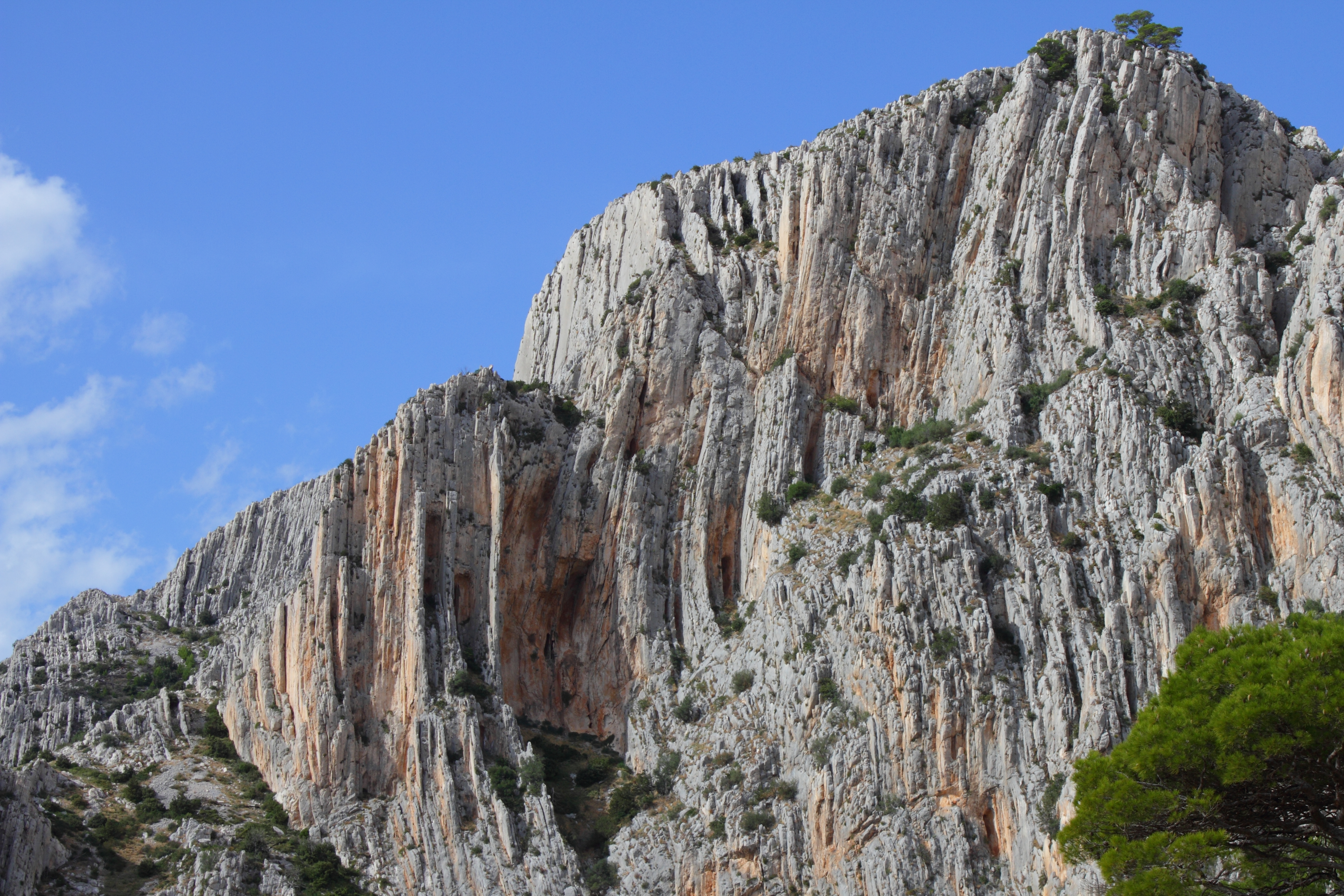
| huidige versie | 10 nov 2012 21:51 | | 4.440 × 2.960 (10,61 MB) | Spacebirdy | {{Location dec|43.141767|16.567805}} {{Information | Description = {{de|Felswand bei Hvar (Kroatien): {{Location dec|43.142519|16.564543}}.}} | Source = own | Date = 2012-10-16 | Author = {{User:Spacebirdy/geimfuglinn}}... |
Bestandsgebruik
Dit bestand wordt op de volgende pagina gebruikt:
Globaal bestandsgebruik
De volgende andere wiki's gebruiken dit bestand:
- Gebruikt op en.wikipedia.org
- Gebruikt op hr.wikipedia.org
- Gebruikt op hsb.wikipedia.org
- Gebruikt op sh.wikipedia.org